Have you experienced this Warning in TBC?

As surveyors work more with terrestrial scan data (SX10/SX12) and start trying to combine it with UAS/UAV point cloud data, this topic becomes more important. It’s that same old “Grid to Ground” topic now with scan data (LAS) twist.
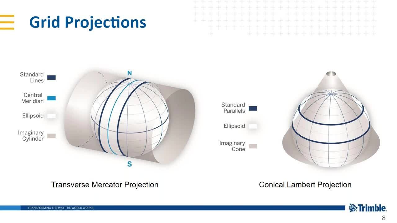
In the above TBC Power Hour, Richard Hassler and Joe Blecha will show you how TBC integrates scanning data and conventional surveying data, delivering consistent results.
Additionally, the below bulletin explains the differences between working with point clouds in Trimble® Business Center and Trimble RealWorks® software and the breakdown of importing point cloud data on State Plane into a GND project.

