


By: Dustin Hoaglin MADE TO MEASURE NEWS | VECTORSEDU | April 2024
Descartes and the Foundations of Modern Land Surveying: A Historical Perspective
Three Decades in the Evolving World of Land Surveying: A Nod to Descartes
In my tenure spanning three decades in the surveying industry, I have been fortunate to witness and contribute to its evolution. My journey, from the days of using basic tools to now leveraging cutting-edge technology, has given me a profound appreciation for the art and science of surveying. As a champion of this progression, I often engage in discussions with both budding and seasoned professionals about the bedrock upon which our profession stands.
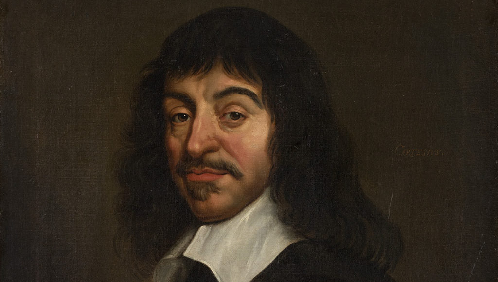
The question of who has had a lasting impact on surveying invariably arises in these conversations. Among the pantheon of thinkers, scholars, and practitioners who have molded surveying into what it is today, René Descartes' name resonates powerfully. This 17th-century French philosopher and mathematician is a household name in many disciplines. His statement, "Cogito, ergo sum" – "I think, therefore I am," is a testament to his intellectual explorations and is known universally.
However, beyond philosophy, Descartes’ influence reaches into the heart of surveying. Many, even within our field, might be surprised to learn the depth of his contributions. While he examined complex realms of thought, Descartes was also laying the foundation for a system that would later become indispensable to land surveying. His Cartesian coordinate system, which blends algebra and geometry, offers a systematic approach to understanding and mapping our physical world. It's a system that, in many ways, has come to define modern surveying.
The link between Descartes and the world of surveying is symbolic of how our profession is a confluence of history, philosophy, science, and technology. As I reflect on my three-decade journey, it's these deep roots that constantly inspire me to advocate, educate, and continue evolving in this ever-changing landscape.
The Cartesian Coordinate System: Descartes' Gift to Modern Surveying
When we think of the milestones that have marked the evolution of spatial sciences, Descartes' introduction of the Cartesian coordinate system stands out as a monumental leap. This system revolutionized how we perceive, represent, and interact with space, providing a structured approach that was previously elusive.

Before the Cartesian system, spatial representation lacked a uniform methodology. Descartes changed the game by introducing a simple yet powerful idea: to represent every point in space with a pair of numerical coordinates. By doing so, he provided mathematical language to describe locations, making it possible to systematically map any point on a flat surface using just two numbers: one for the horizontal axis and one for the vertical.
For surveyors, this was nothing short of a revelation. The Cartesian coordinate system provided a tool that made their work more precise and more efficient. No longer did they have to rely solely on physical landmarks or rudimentary tools; now they had a mathematical framework that ensured accuracy and consistency.
Imagine the challenge of delineating property boundaries without a precise system. Before Cartesian coordinates, boundary determinations were fraught with ambiguities. But with Descartes' methodology, surveyors could pinpoint exact locations, reducing disputes and ensuring fairness. Topographical maps – which represent the contours and features of the land – transformed. With the Cartesian system, these maps could be drawn with unparalleled precision, capturing the nuances of terrains, from the gentlest slopes to the steepest mountains.
In essence, the Cartesian coordinate system is more than just a mathematical concept. It's the foundation of modern land surveying, serving as a vital link between the abstract realm of numbers and the physical world that surrounds us. As we continue to develop advanced tools and technologies in the surveying field, we owe a nod to Descartes for giving us a foundational system that continues to guide and inform our work.
Bridging Algebra and Geometry: Descartes Pioneering Legacy in Surveying
Descartes recognized the potential in uniting these fields, realizing that geometrical problems could be expressed through algebraic equations and vice versa. This integration opened new possibilities for surveyors, allowing them to represent physical spaces and shapes using mathematical equations.
Terrain modeling became more precise, enabling surveyors to create detailed and accurate landscape models for various applications. Volume computations of irregular shapes, such as reservoirs or excavation sites, could now be performed with higher accuracy, minimizing waste and optimizing resource usage.
Moreover, Descartes' synthesis facilitated advanced spatial analyses, allowing surveyors to predict water flow patterns, assess construction impacts, and determine optimal infrastructure routes.
While integrating cutting-edge technologies like AI and machine learning into surveying, we must acknowledge the foundational role of Descartes' groundbreaking work in shaping the field's evolution.

Analytical Geometry Meets Modern Tech: A Synergy Transforming Surveying
In today's technologically advanced era, the surveying industry has witnessed a transformative shift, with state-of-the-art equipment and software taking center stage. Companies like Vectors Inc., a specialist in offering cutting-edge tools from industry giants like Trimble, are at the forefront of this revolution. Amidst this modern wave, the foundational principles of analytical geometry, laid down centuries ago by René Descartes, have proven to be not just relevant, but indispensable.
Analytical geometry, or Cartesian geometry as it's often called, provides a mathematical framework to represent spatial relationships through algebraic equations. This fusion of algebra and geometry has been pivotal in bridging the abstract world of mathematics with the tangible reality of our physical space.
With the advent of sophisticated surveying tools, this bridge has taken on a new dimension. Here’s how:
Precision & Accuracy: Modern surveying equipment with advanced sensors and computing capabilities capture geospatial data with an accuracy that was once deemed unattainable. When paired with the principles of analytical geometry, this data can be processed with unparalleled precision, ensuring that the representations are as close to reality as possible.
Data Visualization: One of the significant advancements in surveying tech is the ability to visualize complex geospatial data. Thanks to Cartesian concepts, modern software can translate raw data into visual formats – be it 2D maps or 3D models – that are not just detailed but also intuitive, allowing surveyors to glean insights at a glance.
Interactivity & Real-time Analysis: Advanced instruments don't just capture data; they also facilitate real-time analysis. By employing Cartesian geometry principles, these tools can offer instant feedback, enabling surveyors to make on-the-spot decisions, optimize routes, or adjust parameters as needed.
Seamless Integration: In our interconnected digital age, the ability to integrate various data sources is crucial. The principles of analytical geometry provide a standardized framework, ensuring that data from different sources, be it satellite imagery or ground sensors, can be seamlessly merged and analyzed within a unified system.
Enhancing Decision-making: With data processed and presented using Cartesian concepts, decision-makers can access actionable insights. Whether it's determining the optimal location for infrastructure, assessing environmental impacts, or planning urban developments, the clarity and depth of information available expedites informed choices.
While the tools and techniques of surveying have evolved dramatically over the centuries, the underlying principles remain steadfast. The enduring relevance of Descartes' analytical geometry in the face of modern technology is a testament to its foundational importance. As companies like Vectors Inc. continue to push the boundaries of what's possible in surveying, they do so, standing on the shoulders of mathematical giants like Descartes.
The Echoes of a Legacy: Descartes in the Modern World of Surveying
At Vectors Inc., we don't just view surveying as a profession; it's an art, a science, and a tribute to the pioneers who shaped its trajectory. Every piece of technology we offer, especially the advanced instruments from Trimble, doesn't just stand for state-of-the-art innovation but also serves as a testament to the rich history of surveying. These tools embody the ideas that thinkers like Descartes pioneered.
Surveying transcends the mere act of mapping land. It's a profound exploration of space, a quest to define relationships between points, and an endeavor to understand the intricate weave of our world. In many respects, the essence of surveying mirrors Descartes' philosophical journey. Just as he embarked on a quest to decipher existence, purpose, and reality, today's surveyors, equipped with modern tools, aim to decode, represent, and ethically engage with the spatial realities surrounding us.
Having navigated through the vast expanses of New Mexico's serene plains and the challenging landscapes of Colorado, my experiences as a licensed surveyor have been nothing short of enlightening. In every corner, whether it's the gentle undulation of a hill or the sharp demarcation of a property line, I discern the echoes of Descartes' legacy. Each measurement we take, every plot we chart, and every boundary we ascertain, is a nod to the Cartesian principles. It' a reminder that while the tools have evolved and the techniques have modernized, the foundational philosophy—much like Descartes' indelible mark—remains unchanged.
In Conclusion: Descartes' Timeless Influence on Modern Land Surveying
The impact of René Descartes on the land surveying realm cannot be understated. While he undoubtedly belongs to the annals of history, his influence isn't merely confined to the past. Descartes' contributions are intrinsically woven into the very fabric of contemporary surveying. His Cartesian principles have not only shaped our foundational understanding but also empowered surveyors with practical tools and methodologies to bring that understanding to life.

The beauty of the surveying industry today lies in its harmonious melding of time-honored wisdom with the marvels of modern technology. This delicate balance ensures that while we are equipped to harness the latest technological advancements, we remain grounded in the profound philosophies that have been passed down through generations. Descartes' ideas serve as a guiding light, reminding us of the importance of precision, systematic inquiry, and unyielding curiosity.
As we navigate the diverse and captivating terrains of New Mexico and Colorado, every hill we scale and every valley we measure resonates with echoes of Descartes' legacy. With every boundary delineated and every topographical map created, we're not just documenting the land. We're also paying homage to the spirit of rigorous inquiry and meticulous precision that Descartes championed.
In essence, the footsteps of this 17th-century philosopher and mathematician are imprinted on the paths we tread, the landscapes we explore, and the future horizons we seek to chart. As we look ahead, we carry forward not just the tools and techniques of our trade but also the timeless essence of Descartes' vision—a testament to the enduring synergy of past wisdom and future innovation.
With a measure of mirth, Dustin Hoaglin PLS.
Dustin Hoaglin,PLS is a Trimble Certified Trainer, Regional Manager, and TBC Power User for Vectors Inc. and is based in Albuquerque, New Mexico.
Vectors Inc., as the premier Trimble geospatial dealership for New Mexico and Colorado, takes pride in blending tradition with technology. Visit us to explore the latest in surveying equipment and to delve deeper into the rich history of this vital profession.
©Vectors Inc.