Fully Integrated and Versatile Laser Scanning Solution
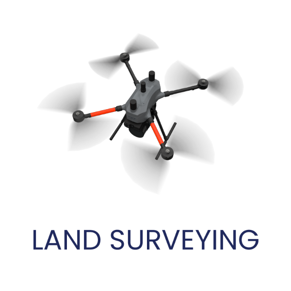
Land Surveying and Area Mapping
With its high-precision long range 3D laser scanning, the EasyOne excels at area mapping and surveying large scenes quickly and accurately. It's the perfect tool for tasks like cadastral surveying, topological surveying, corridor mapping, infrastructure as-builts.
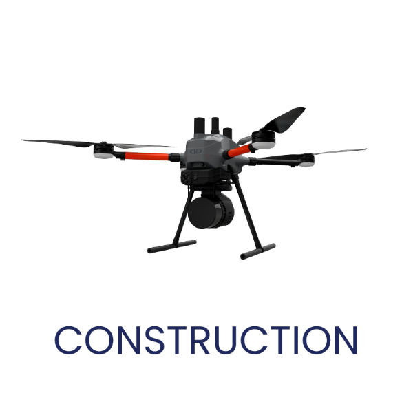
Construction and Agriculture
Track progress and capture change over time on construction sites with periodic laser scans from the EasyOne. Contractors can use the data for progress tracking, 3D modeling, layout, and structural health monitoring.
Farmers are improving yields with field surveys powered by EasyOne. Scan crops and land to monitor irrigation, soil health, and crop growth.

Mining and volumetrics
Whether it's a pile of sand or stack of lumber, the EasyOne quickly and non-destructively measures volumes with millimeter precision scans. It's ideal for stockpile volumetrics, extraction planning, haul road design, slope stability analysis, and flood zone calculations.
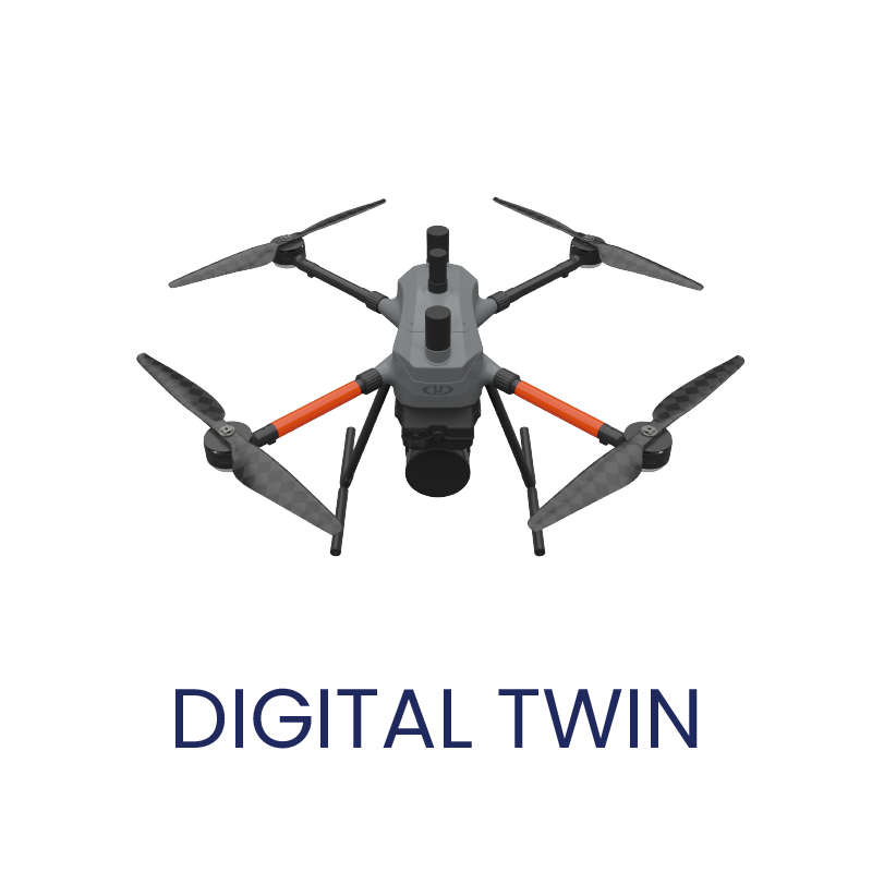
Digital Twins
Create interactive, photorealistic 3D models of assets, buildings, factories and more with EasyOne scans. Power virtual prototyping, training and simulations.
Easy and Safe Control
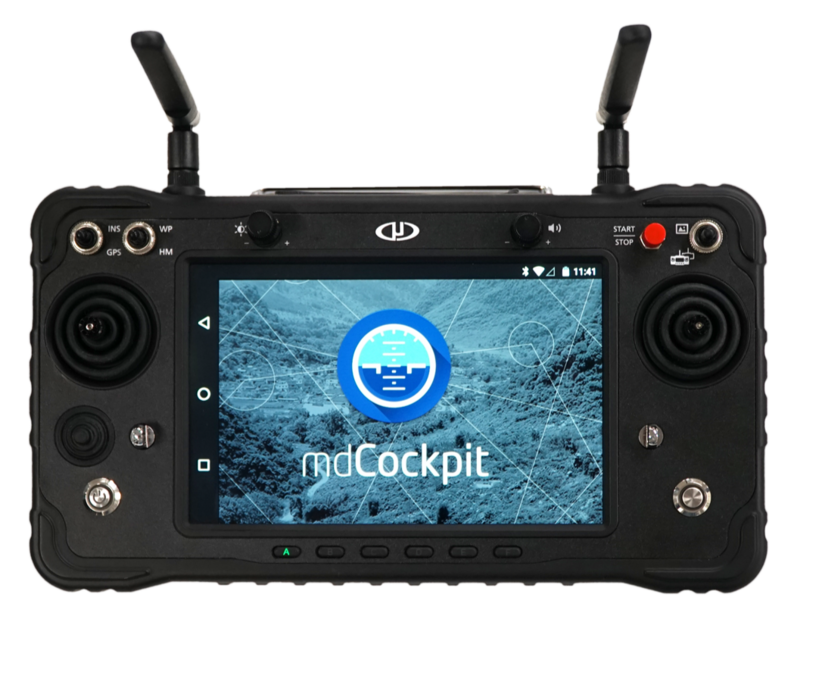
Integrated Remote Display
Beyond immersive FPV, the controller prioritizes safety. Leverage features like Real Time Terrain Follow to automatically maintain a safe distance from the ground during autonomous flights. High-level commands through the touchscreen cockpit free you from relying solely on manual stick controls too.