Aerial Drone UAV UAS Systems

Aerial Systems for Land Surveying and Precision Mapping
Whether you call them UAV, UAS, or drones, unmanned aerial systems have revolutionized land surveying, mapping and precision infrastructure. With the ability to capture high-resolution aerial imagery and 3D point clouds, drones are transforming how surveyors, engineers, and geospatial professionals capture data from above.

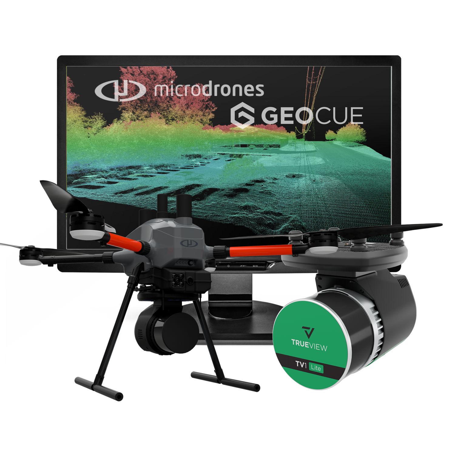
GeoCue Group Solutions
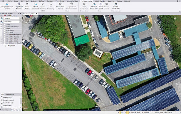
Explore GeoCue if you want: Best-in-class sensors with flexibility to use your preferred drone platform or integrate with existing fleet.
Explore Microdrones if you want: A complete, ready-to-operate system with everything included and simplified workflow from day one.

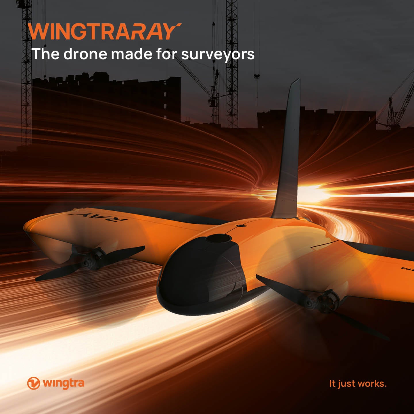
WingtraOne VTOL Systems
Built to American standards, trusted globally—enabling compliant, reliable and safe drone operations.

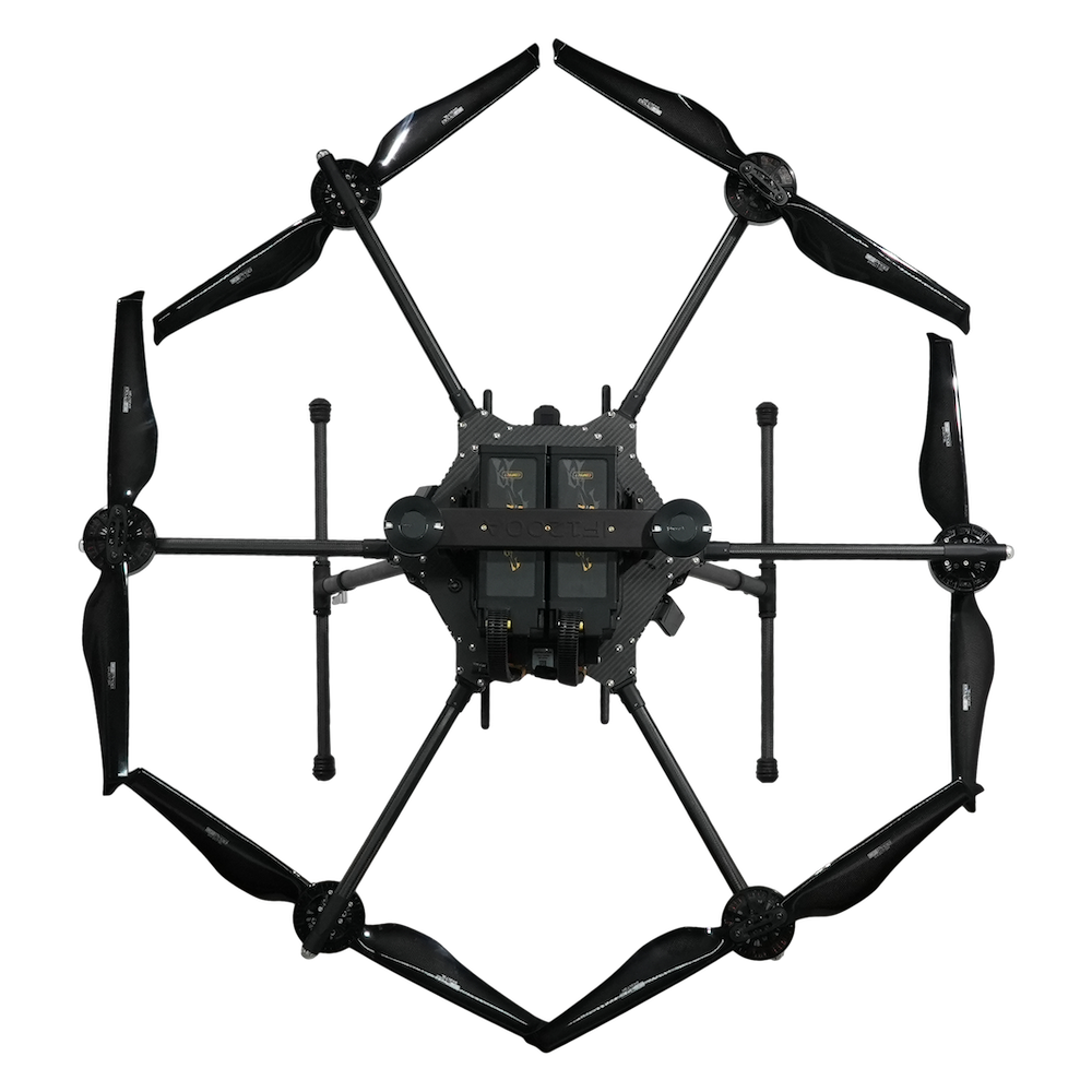
Inspired Flight Solutions
One of the few American drone companies with NDAA compliance as well as Green UAS certification, demonstrating superior quality and adaptability for government and commercial applications.
At Vectors Inc., we carry a wide range of professional-grade drones and sensors from industry leaders like Wingtra, Microdrones, GeoCue, and Inspired Flight. No matter the size of your project or budget, we have a solution that can streamline your workflows and increase productivity.
Drones allow you to collect geospatial data faster, safer and at a fraction of the cost of traditional methods.

Our drones are ideally suited for applications like:
- Cadastral mapping and boundary surveys
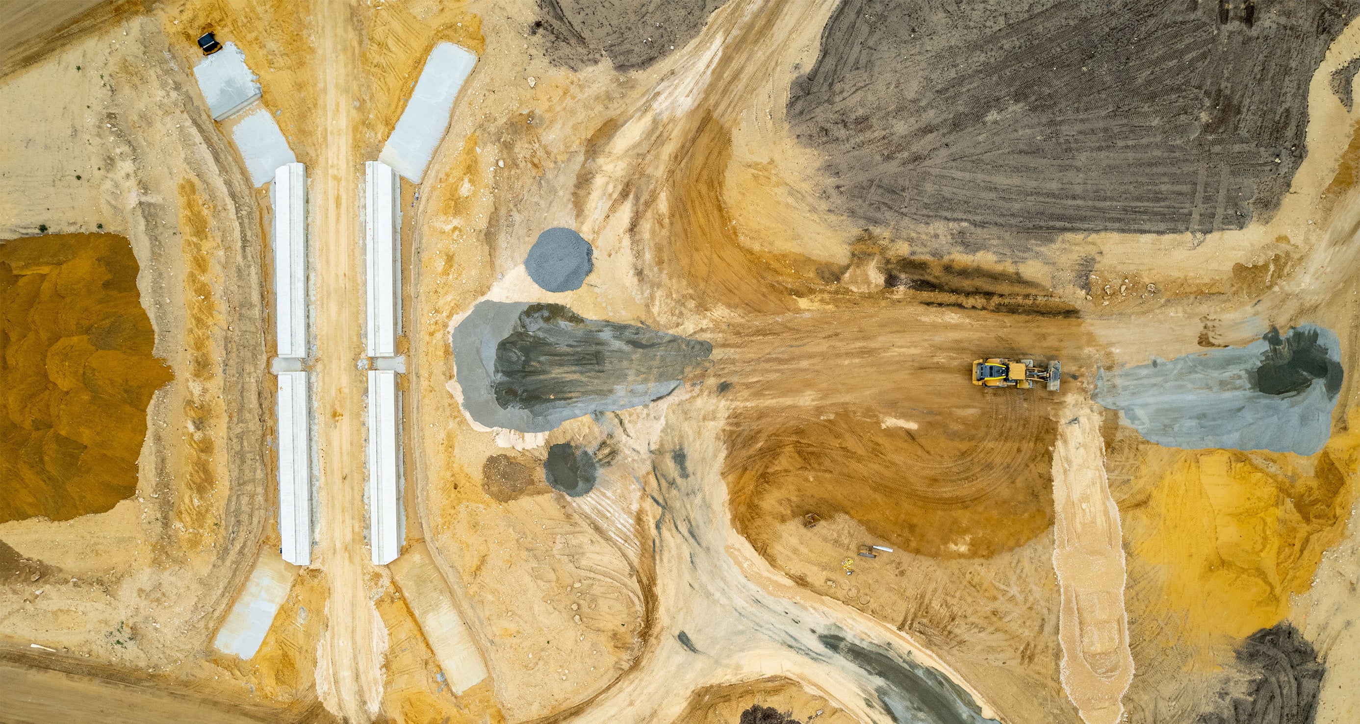
- Construction progress monitoring and as-built surveys
- Infrastructure and facility inspections
- Volumetric calculations and stockpile surveys
- Precision agriculture monitoring and yield mapping
- Orthophoto, DEM and 3D model generation
Deliver Projects Faster with Precision Aerial Data
With the complexity of drone options and regulations, choosing the right solution can be daunting. Contact us today to discuss your needs. Our experts can recommend the ideal drone, sensors and software to streamline your workflow and maximize ROI. Let us show you how drones can transform your business.
For 25 years, we've been providing data solutions to surveyors, engineers, GIS professionals and construction firms across the nation. Whether you need assistance with flight planning, sensor integration, data processing or regulatory compliance, our team of professionals is here to help you every step of the way.