


Trimble Geospatial Software Solutions
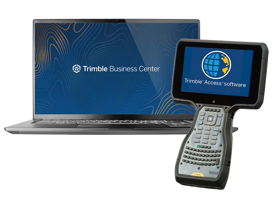
Field Software Solutions
Trimble Access & Spectra Origin
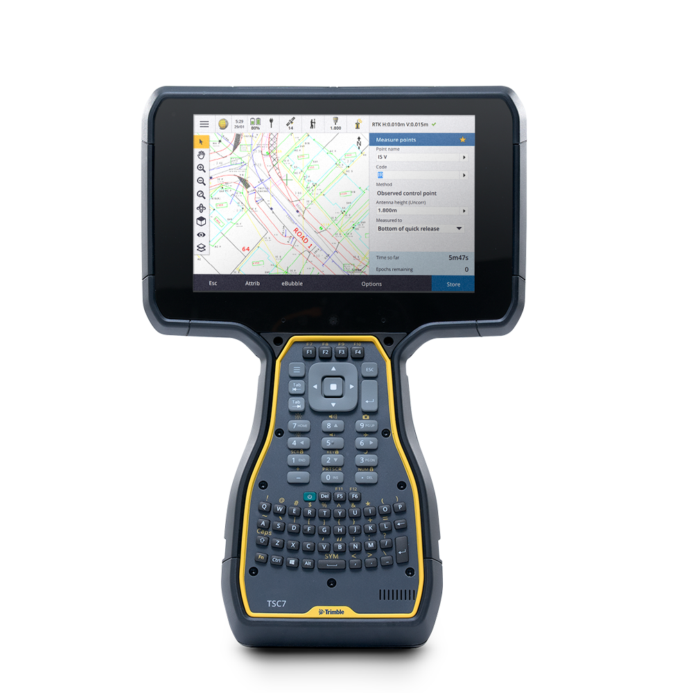
Simplified Software for Professional Land Surveyors
Trimble Access and Spectra Origin field software offers streamlined workflows and a comprehensive toolset for land surveyors to conduct topographic surveys, stakeouts, 3D scanning, site calibrations, and more. Compatible with both Windows® and Android™ devices, both support seamless integration across GNSS receivers and total stations, empowering surveyors to combine conventional survey data, scanning, and GNSS data in a single project. The inclusion of Trimble Sync Manager further enhances connectivity between field and office, making data sharing effortless.
-

Learn More About Spectra Origin
Learn More

Office Software Solutions
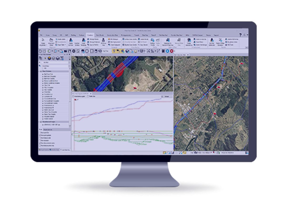
Trimble Business Center
Survey and Construction Field to Finish Workflows with Confidence
Leverage the power of raw geospatial and construction data in a single, robust software! Using streamlined yet powerful workflows designed for surveyors by surveyors, take your survey and construction data further with powerful TBC tools when working with CAD, surfaces, corridors, point clouds, photogrammetry, and more. With your professional reputation, financial well-being, and requirements on the line, use TBC’s unique capabilities to stand out from your competition and deliver superior results to your clients.