


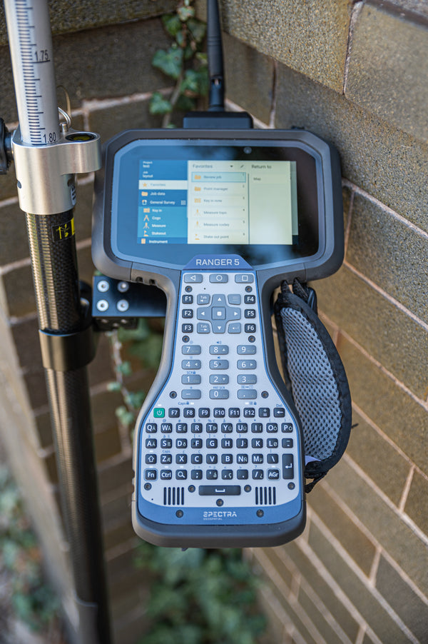
Spectra Geospatial Origin
Spectra Geospatial Origin is a full feature software for every survey and GIS need, including data collection, calculation, mapping, storage, data management, and much more in one modern software package. Origin works on both Android and Windows operating systems and supports integrated surveys, so you can use GNSS and instrument data in the same job file. Origin is specifically designed to bring the latest technology to Spectra customers and increase your productivity. Use Origin for measurements, feature coding, COGO, road layout, and map centric staking of points, lines, and polylines, and much more.Origin GNSSOrigin Total StationOrigin MaxOrigin LTRoads

Flexible Licensing Options to Suit Your Needs
Subscription Plans: Stay up to date effortlessly with the latest features and updates automatically included. Subscriptions are user-centric, offering flexibility and scalability as your needs grow.
Perpetual Licensing: Make a one-time purchase for a permanent license tied directly to your hardware or software. Please note, perpetual licenses do not include future updates but provide long-term ownership without ongoing fees.
Explore Specialized Solutions for Enhanced Survey and Data Collection Workflows
Spectra Geospatial Origin Roads adds powerful features to enhance your road stakeout. The Roads application simplifies road stakeout by providing a step-by-step process to take a road stakeout project from start to finish.
Enhanced Roading features:
- Support for RXL, GENIO, LandXML and IFC file formats
- Define your road through horizontal and vertical polylines, templates, and superelevation and widening records
- Visualize your road and measurements in real time, all in 3D on your controller
- Survey your road through staking a station on a string, measuring your position relative to a string or road, staking a side slope, and applying construction offsets
- Conduct surface inspections through in scan to surface, to scan, or whole object IFC model
- Redesign your road in real time
- Report your surveyed road data on the controller and transfer via cloud services
Contact us to Learn More
Provides all Origin software features and connects to supported GNSS receivers only
Supported Instrument List:
- SP100 GNSS Receiver
- SP60 GNSS Receiver
- SP80, SP85 GNSS Receivers
- SP90m GNSS Receiver
- SP30 Handheld GNSS Receiver
Provides all Origin software features and connects to supported conventional instruments only
Supported Instrument List:
- FOCUS 30/35/50 Robotic Total Station
- Nikon Mechanical Total Stations
- 3rd Party Total Stations
Combines Origin GNSS and Origin Total Station for a full package field survey software
Integrated survey workflows
Supported Instruments:
- SP100 GNSS Receiver
- SP80, SP85 GNSS Receivers
- SP60 GNSS Receiver
- SP90m GNSS Receiver
- SP30 Handheld GNSS Receiver
- FOCUS 30/35/50
- Nikon Mechanical Total Stations
- 3rd Party Total Stations
Spectra Geospatial Origin LT is an entry-level field survey software with a modern look and capabilities. Supporting Spectra Geospatial Android* and Windows devices, Origin LT is created to make workflows with Mechanical Total Stations and SP60 GNSS easy and effective.Support for mechanical instruments and GNSS receivers with a basic feature set for data collection, stakeout, and COGO. Includes topographic features such as feature and attribute collection and map-based workflows.
Supported Instruments List:
- SP30 Handheld GNSS Receiver
- SP60
- Nikon Mechanical Total Stations
- Third-party total stations