


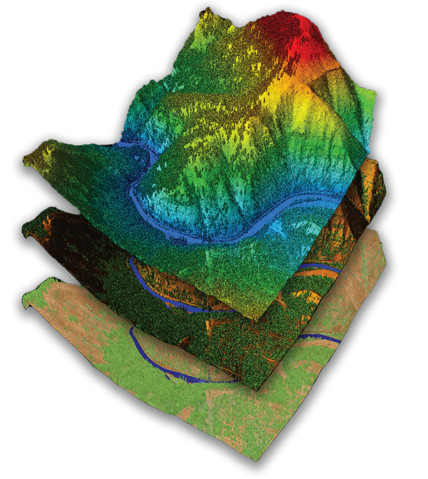
Drone LiDAR & Mapping Sensors


GeoCue’s TrueView series integrates innovative drone LiDAR with advanced imaging, supporting fast, automated generation of 3D point clouds and orthophotos in a single flight.
Featured Sensors:
-

TV1
Contact Us to Learn MoreThe TV1 is a fully customizable drone LiDAR platform designed for professionals who need tailored mapping solutions. Choose from 26MP, 45MP, or 61MP camera options, then select your preferred trajectory correction service—either Single Base PPK processing or Complete/No Base Station processing with Trimble PP-RTX. Each annual plan includes LP360 Drone software, processing capabilities, and comprehensive maintenance and support.
-

TV1 Lite
Contact Us to Learn MoreThe TV1 Lite is GeoCue’s most accessible, professional-grade LiDAR sensor—designed as a starter solution for those new to drone mapping or seeking an affordable entry point. It features the innovative TrueNav, with a proven Hesai, 32 channels laser scanner, and a FLIR 5MP Global Shutter Camera with a 90º FOV. After the first year, users can continue to benefit from an easy annual renewal.
-

TrueView 535
Contact Us to Learn MoreThe TrueView 535 is an updated, all-purpose drone LiDAR sensor designed for versatility across a wide range of survey applications. It combines powerful LiDAR capabilities with dual camera integration, making it ideal for streamlined, efficient field data collection and automated generation of accurate, colorized point clouds and orthophotos in a single flight.
-

TrueView 515
Contact Us to Learn MoreThe TrueView 515 is a high-performance LiDAR/Camera system that delivers exceptional 3D imaging capabilities at a competitive price point. This system excels in capturing detailed definition along wires, ground cover beneath vegetation, and offers superior sensitivity for various mapping applications.


Other Available Models Include:
Sensor Comparison at a Glance-

TrueView 540
Flexible high-end LiDAR
-

TrueView 720
Survey Grade Sensor
-
TrueView 680/680LR
360 LiDAR Sensor
-
TrueView 655/660
Survey Grade Sensor
-
TrueView 625
3D Imaging System


- Fast, accurate, and fully colorized 3D point clouds: Achieve detailed and realistic results for your mapping and surveying needs.
- Flexible integration: Compatible with a variety of rotary drone platforms, ensuring you can deploy the technology that fits your workflow.
- Solutions for every budget and project: Whether you need an affordable entry point or high-end performance, our lineup empowers geospatial professionals at all levels.
- Expert guidance: Choosing the right hardware and software can be complex, but our team is here to help you navigate your options and select the perfect solution for your business goals.
Want to Learn More or Get a Quote?
Let us know today!

LP360 LiDAR & Photogrammetry 3D Point Cloud Software
Complete UAV LiDAR and photogrammetry data processing workflow with advanced QA/QC tools, automated ground classification, 3D point cloud editing, and geospatial analysis capabilities. Streamline drone survey data processing and deliverable generation in an intuitive GIS interface with powerful visualization tools.