


LP360 Software: LiDAR Processing for Drone & Terrestrial Surveys
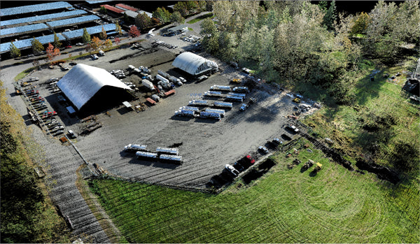
LP360 Drone
For Drone Mapping and Aerial Workflows
Optimized for efficient drone LiDAR and photogrammetry processing, LP360 Drone turns your aerial data into actionable maps and deliverables.
Key Features
- Fast import and processing of drone-collected point clouds and imagery
- Automated flightline alignment and data calibration
- Volumetric analysis: stockpiles, earthworks, site measurements
- Export deliverables to GIS/CAD platforms
- Designed for ease-of-use by drone survey teams
Ideal For
- Construction site documentation
- Mining volumetrics
- Environmental monitoring
- Corridor mapping via UAV
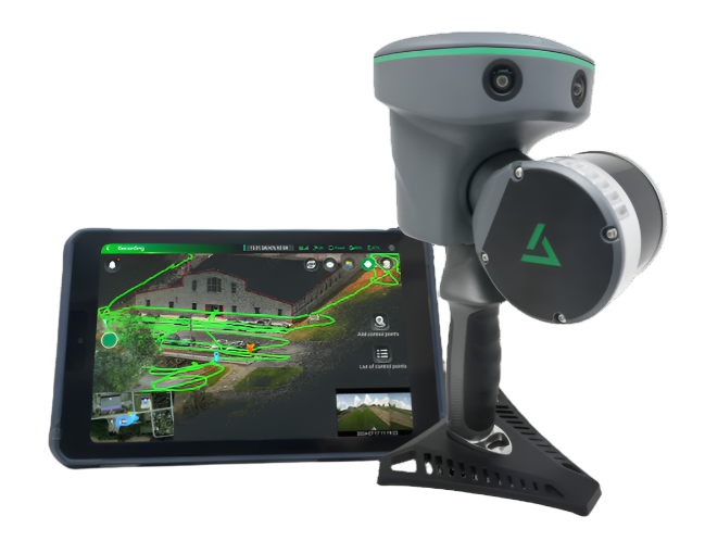
LP360 Land
For Terrestrial and Mobile Mapping
Purpose-built for land-based and mobile LiDAR workflows, LP360 Land offers precision tools for topographic and boundary surveys, surface modeling, and more.
Key Features
- Ingest and process terrestrial LiDAR data from ground scanners or mobile rigs
- Ground classification and terrain extraction tools
- Feature extraction for survey deliverables
- Surface model creation, contour lines generation
- Streamlined for land survey workflow integration
Ideal For
- Topo & boundary surveys
- Site grading and earthwork
- Utility and infrastructure mapping
- Roadway and asset inspections
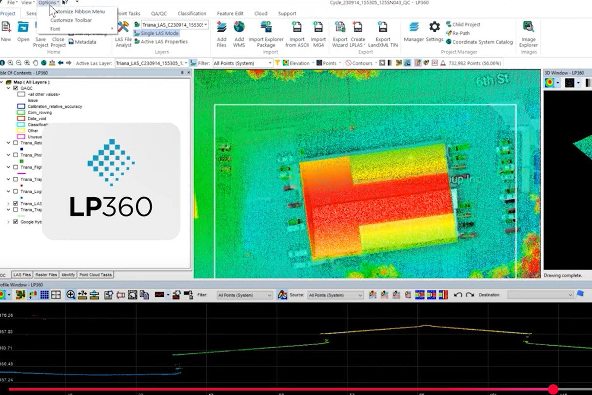
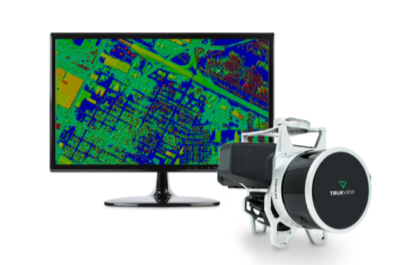
LP360 Geospatial
For Advanced Geospatial Integration & Analytics
The most versatile edition, LP360 Geospatial, supports multisource data ingestion and advanced analytics for enterprise GIS professionals and agencies.
Key Features
- Integrate airborne, mobile, and terrestrial LiDAR with imagery
- Advanced spatial analytics, modeling, and data fusion
- Workflow automation and custom scripting
- Comprehensive QC, reporting, and project management tools
- Scalable for multi-site and city-scale projects
Ideal For
- Mapping agency data integration
- Urban/city-scale modeling
- Utility corridor management
- Enterprise GIS & asset management