


Geospatial Software & Processing Solutions

TBC Photogrammetry
TBC Photogrammetry is a high-precision photogrammetric processing module within Trimble Business Center. It enables professionals to generate highly accurate measurements and deliverables from aerial and terrestrial imagery.
GeoCue's LP360
LP360 is a powerful, feature-rich platform for advanced LiDAR and drone mapping data processing. With robust tools for classification, feature extraction, and quality assurance, LP360 is built for professionals managing complex point cloud datasets.
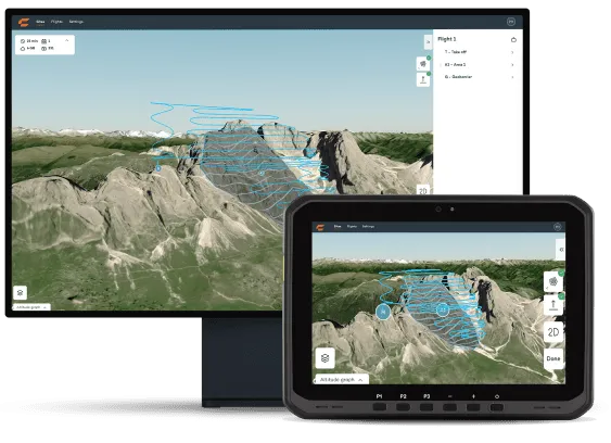
WingtraCLOUD
WingtraCLOUD is an intuitive, cloud-based data processing solution, ideal for transforming drone imagery into high-precision maps and models. Automatic processing, collaboration tools, and streamlined workflows make it easy to derive valuable geospatial insights, wherever your team works.
Pix4D
Pix4D sets the industry standard for photogrammetry, turning drone imagery into detailed, accurate 2D and 3D maps and models. Recognized for its flexibility and precision, Pix4D is trusted by professionals worldwide.
Which software is best for processing large LiDAR datasets?
GeoCue’s LP360 is specifically designed for efficient, robust LiDAR data management and processing at scale.
Can I use data from any drone with these platforms?
Most solutions, including Pix4DMapper and TBC Photogrammetry, support a wide range of drone and camera models. WingtraCLOUD is optimized for WingtraRAY but also accepts third-party data.
Are these tools suitable for both beginners and advanced users?
Yes—while each platform offers advanced features for professionals, they also include workflows and user interfaces accessible to new users.
Do you offer support and training?
Yes, we provide expert onboarding, support, and custom training for all featured software solutions.
Want to learn more, request a quote, or schedule a demo with our experts?
Let us know today!