


Trimble & GeoCue TLS/SLAM LiDAR Systems
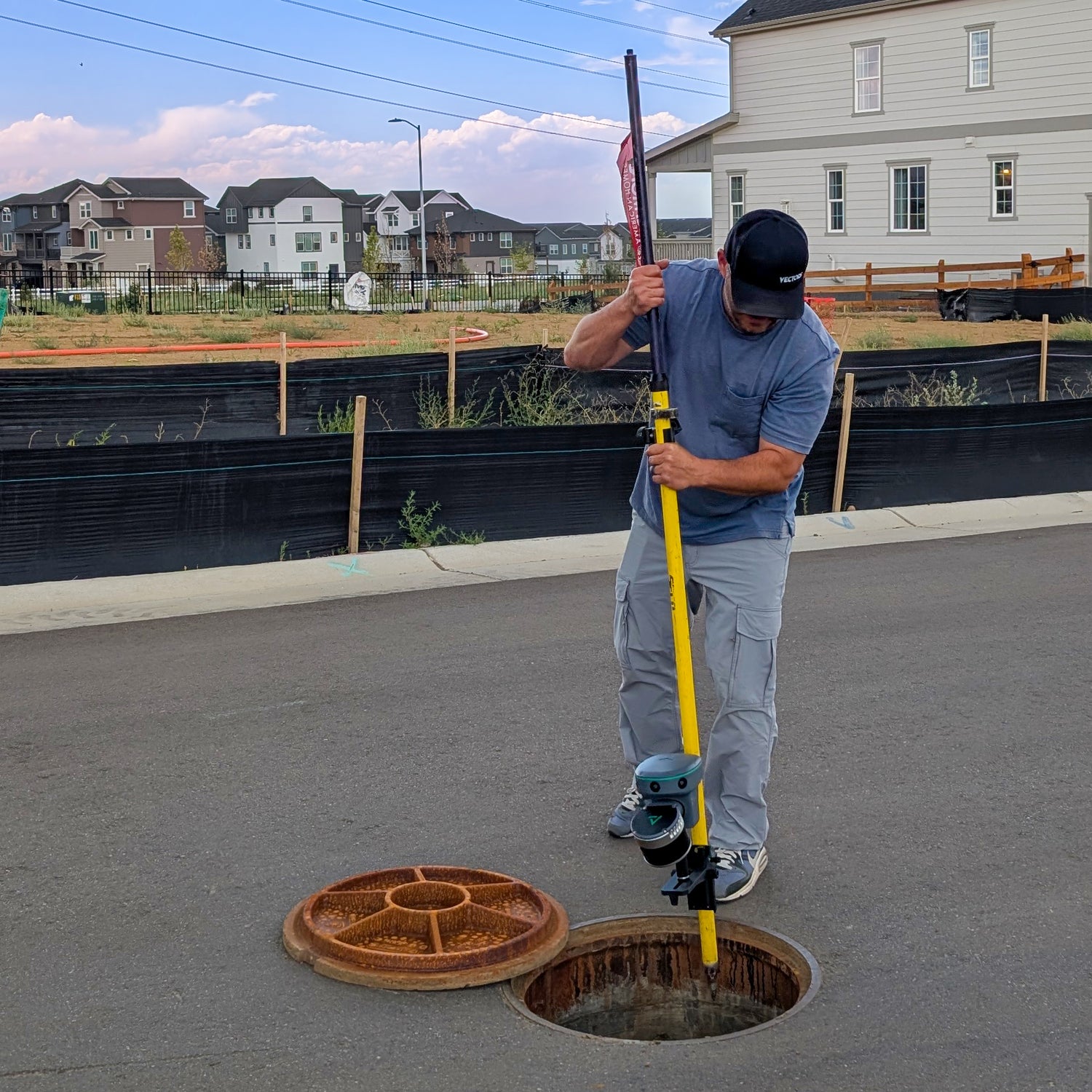
TrueViewGO SLAM System
Portable 3D mobile mapping using SLAM (Simultaneous Localization and Mapping)
Key Features:
- Real-time 3D point cloud generation
- Lightweight and easy to use
- Ideal for indoor and outdoor mapping
- Rapid data collection and processing
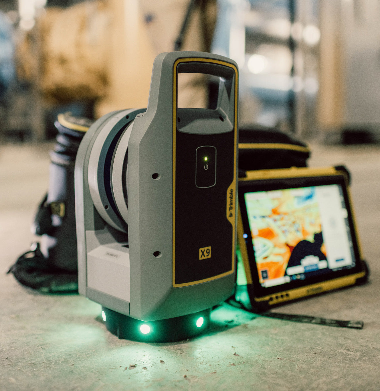
Trimble X9
- High-speed terrestrial laser scanner
- Exceptional range and accuracy
- Weather-resistant, robust design
- Best for large-scale, high-precision surveys
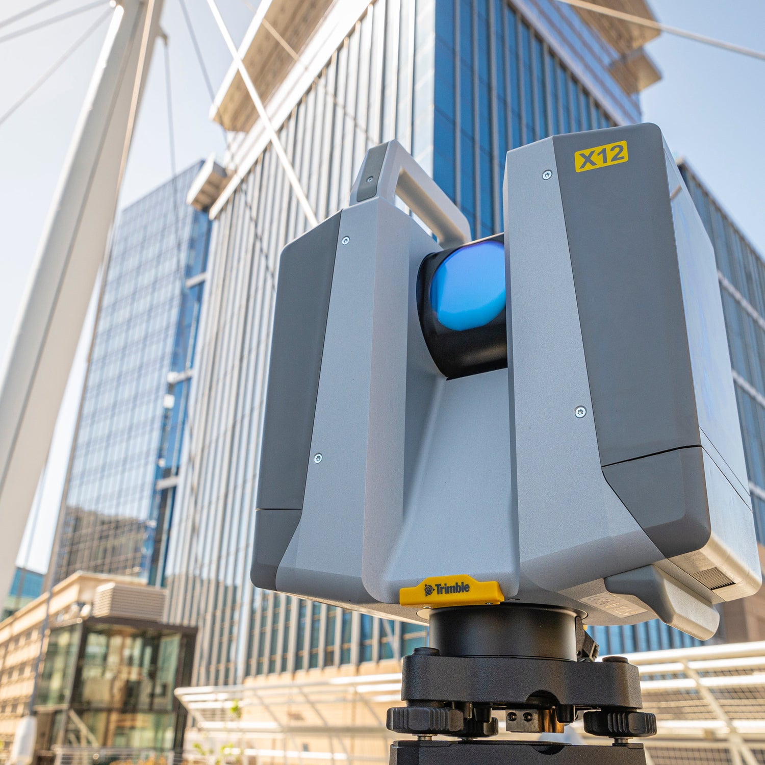
Trimble X12
- Versatile 3D laser scanner with advanced data capture
- Intuitive software integration
- Suited for detailed documentation and as-built modeling
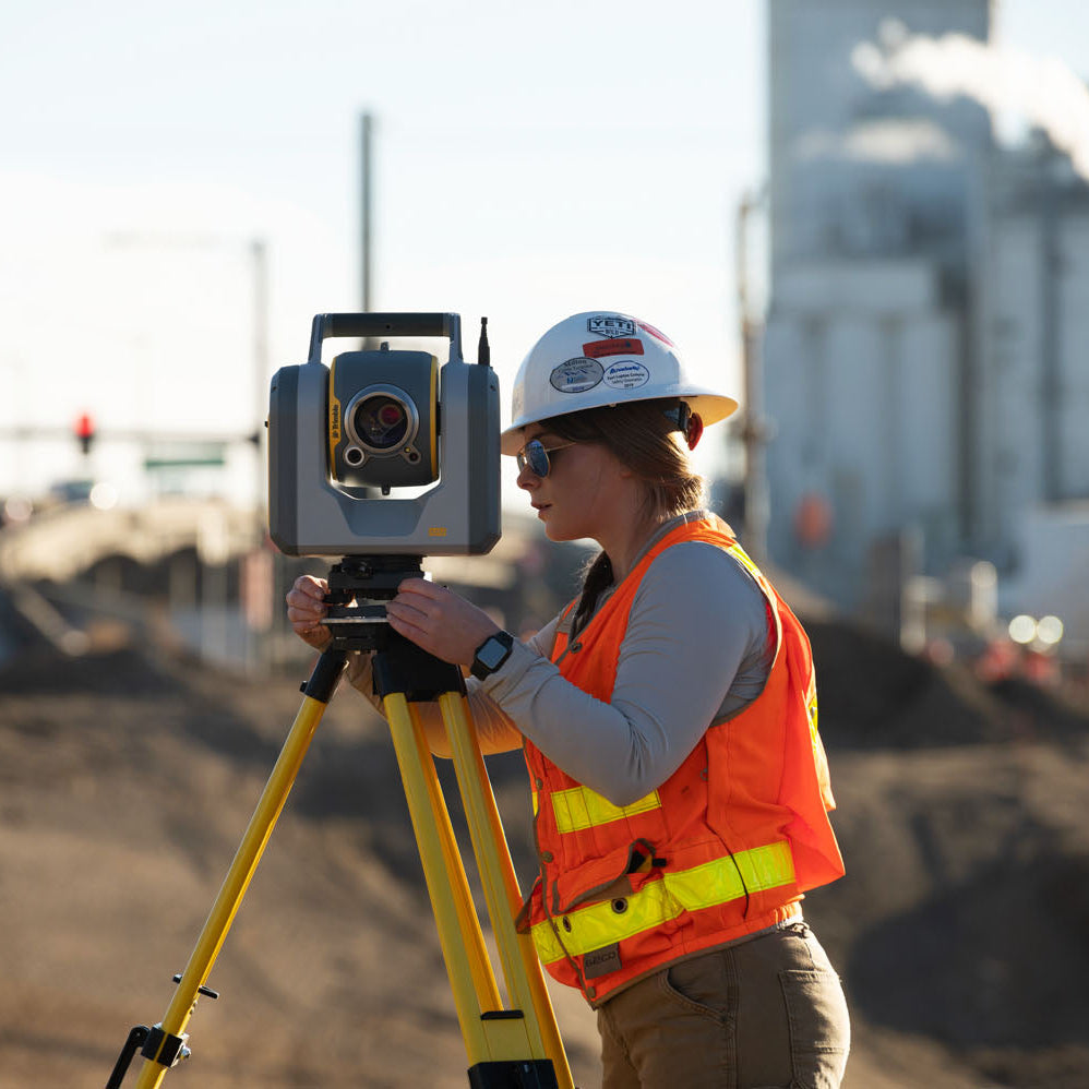
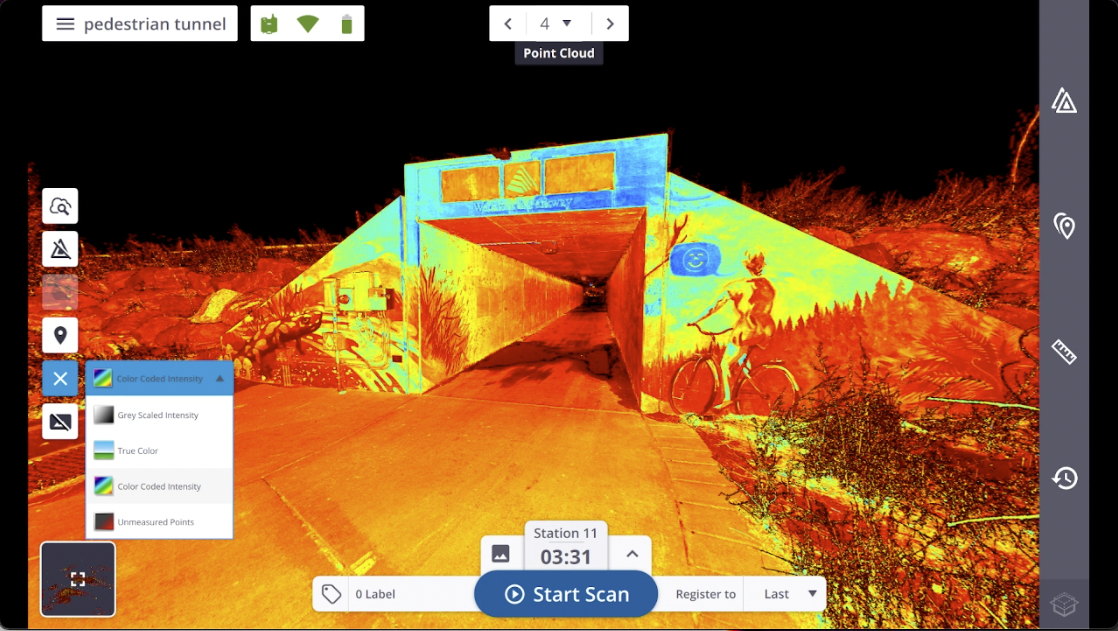
Trimble SX12 Scanning Total Station
- Combines high-accuracy surveying with advanced 3D scanning
- Seamless integration of GNSS, total station, and laser scanning data
- Streamlines workflows for surveyors requiring versatility