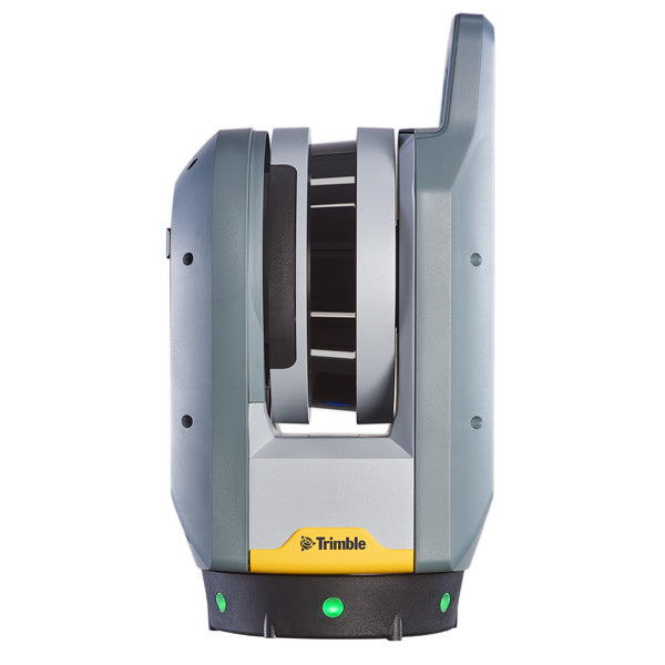
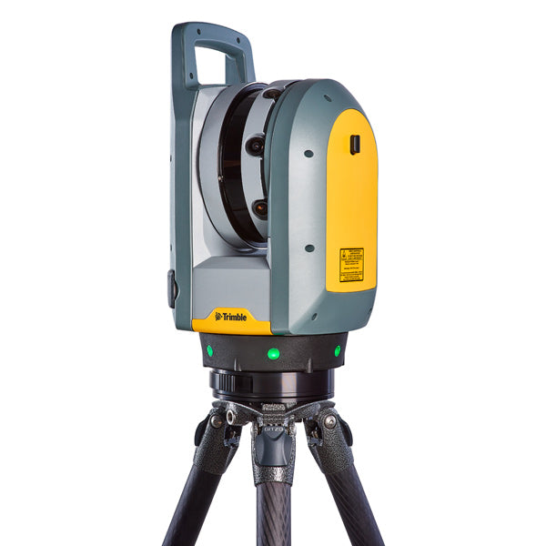
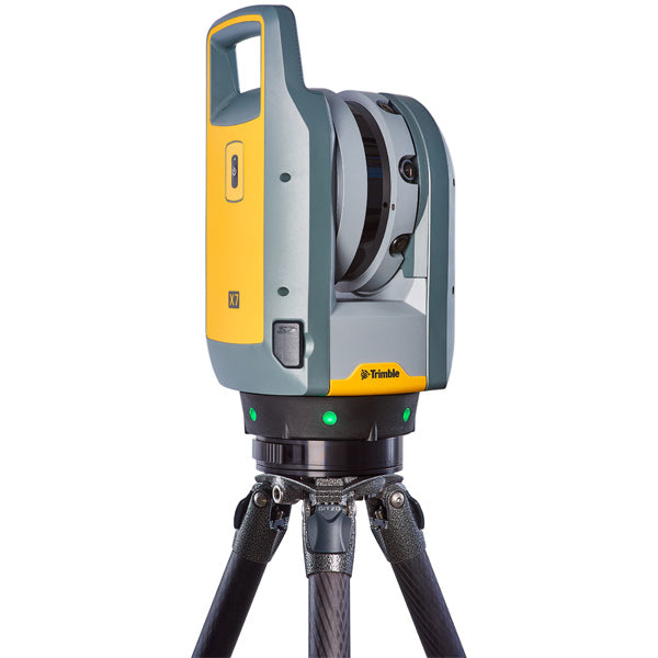
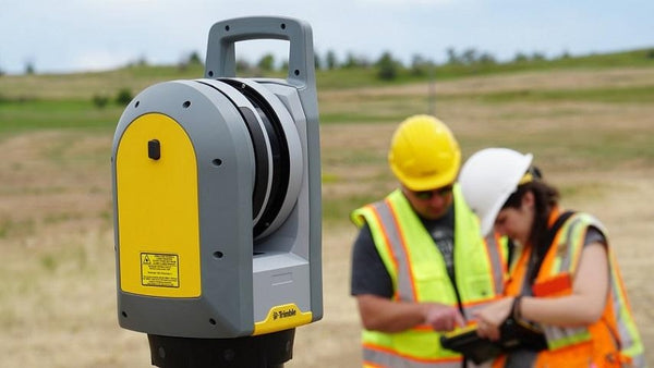
Trimble X7 3D Scanning System
Trimble X7 3D Scanning System
Discontinued - View our selection of USED Equipment
In November 2024, Trimble announced the end-of-life for the Trimble X7 3D Scanning System. A limited quantity of units and certain repair parts and accessories remain available. Contact us to discuss alternate/upgraded options like the Trimble X9 3D Scanning System.
-
Trimble X7 kit with T10x Tablet or T100 Tablet, Perspective software, Series 3 tripod, quick release, backpack, and more.
High-speed 3D laser scanning system with advanced technologies to simplify adoption, increase efficiency, and provide confidence in the field powered by Trimble Perspective.
Automatic Calibration: Complete confidence in every scan with the industry's first smart calibration system. No targets or user interaction required. On-Demand calibration reports
Self-leveling: Automatic survey-grade level compensation
Trimble Registration Assist: Increase your field productivity with the industry's most comprehensive automatic registration
Laser Pointer: Provide visual confirmation of individual points to be measured by Trimble Perspective
Georeferencing: Link registered scans to a project coordinate system in Trimble Perspective
System
• Simple - It‘s never been easier to break through traditional barriers of scanning. Trimble X7 combined with Perspective software provides exceptional ease of use with intuitive workflows in a compact form factor that is easy to transport
• Smart - With game-changing innovations such as automatic calibration and Trimble Registration Assist, you can count on the X7 for guaranteed performance and accuracy so you can leave the site with total confidence in your data.
• Professional - The Trimble X7 is the right blend of innovation and performance like survey-grade self-leveling and an IP55 rating. Plus it‘s backed by an industry-leading 2-year warranty.
The Trimble X7 solution is fully integrated with the new Trimble Perspective software specifically designed for in-field control and complete registration. The combination enables scans and images to be captured, fully registered together, refined, controlled, and exported to a variety of established data format for Trimble and non-Trimble software suites.
• User-friendly interface puts you in control
• Save time with automatic registration as you go
• Never miss a scan. Ensure desired coverage with 3D visualization tools
• Increase field to office productivity with helpful annotations and scan labels
• Export directly to industry-standard file formats
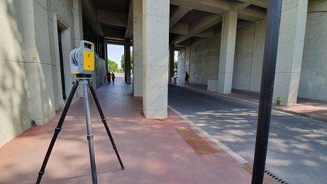
For surveyors and geospatial professionals, the X7 provides fast and balanced performance in both indoor and outdoor environments and is ideal for:
• Civil infrastructure
• Industrial survey/tank calibration
• General surveys
• Road intersection surveys
• Forensics
• Utilities
• Mining
• Historical documentation and renovation
Share